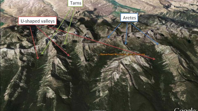
Landform Examples
Measuring the Landscape
We are going to use Google Earth to look at Montana landscapes from above. Before going further, you may want to review some examples of different landforms (landform examples are available in several different formats – they all include the same examples): Landform Examples Web Format (can also be accessed using the dropdown menu at […]
Mapping With Google Earth
Required Materials Computer with Google Earth downloaded to the desktop Notebook (or sheets of drawing paper) Pencils or pens What is Google Earth? Using a computer, Google Earth lets you view the Earth and explore galaxies in the sky above using satellite imagery, aerial photographs, and maps. It allows you to use your mouse, […]
Recent Comments